| Historical Information | ||||||
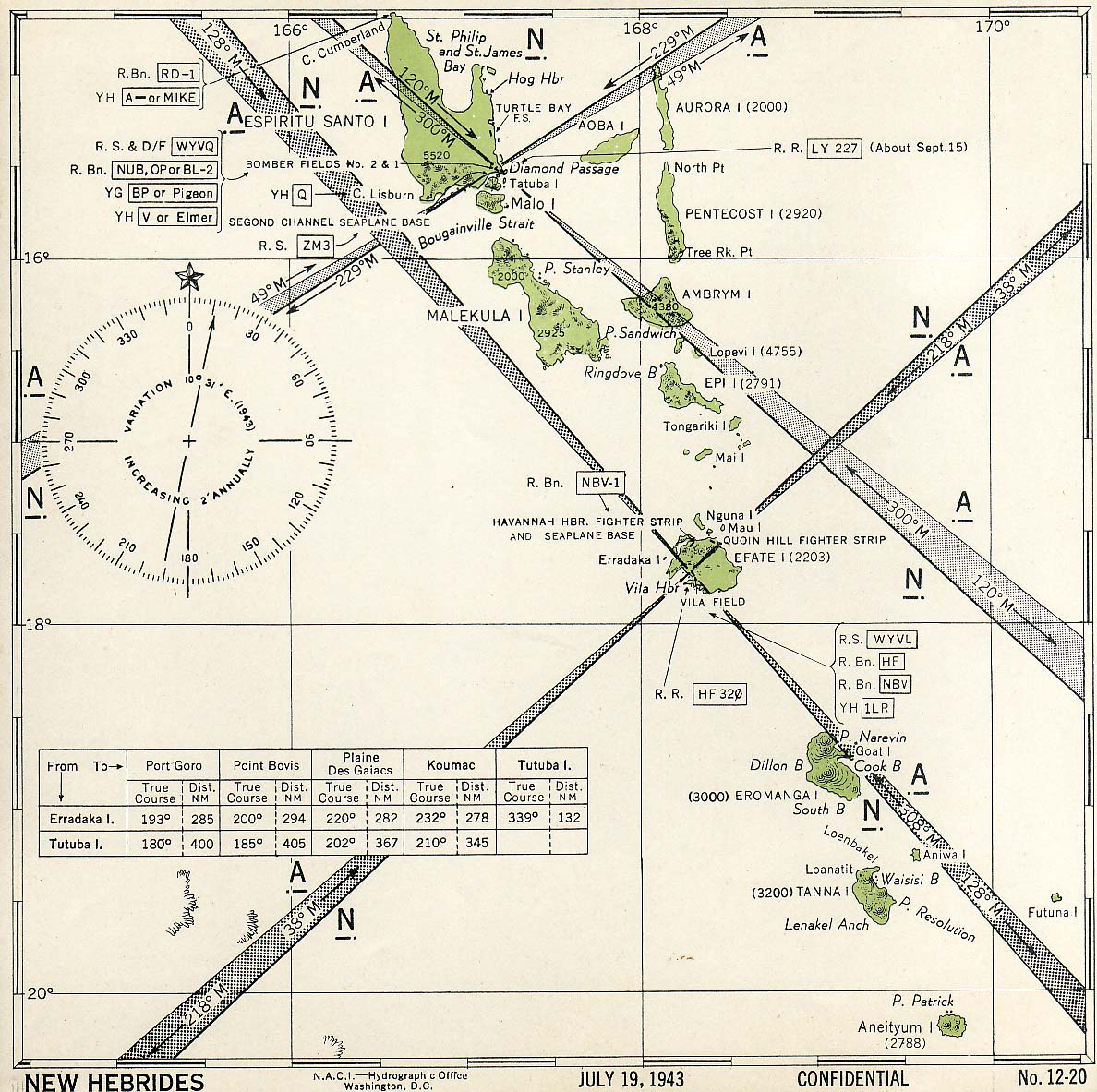
| Caption | United States Hydrographic Office July 1943 map of the New Hebrides Islands (now Vanuatu) showing friendly aircraft approach bearings. ww2dbase | |||||
| WW2-Era Location Name | New Hebrides | |||||
| Date | Jul 1943 | |||||
| Photographer | Unknown | |||||
| Source Information | ||||||
| Source | ww2dbaseUnited States Hydrographic Office | |||||
| Related Content | ||||||
| More on... |
| |||||
| Licensing Information | ||||||
| Licensing | This work is believed to be in the public domain. Please contact us regarding any inaccuracies with the above information. Thank you. |
|||||
| Metadata | ||||||
| Added By | David Stubblebine | |||||
| Photo Size | 1,188 x 1,183 pixels | |||||
Please consider supporting us on Patreon. Even $1 per month will go a long way! Thank you. Please help us spread the word: Stay updated with WW2DB: |
Visitor Submitted Comments
All visitor submitted comments are opinions of those making the submissions and do not reflect views of WW2DB.
Search WW2DB
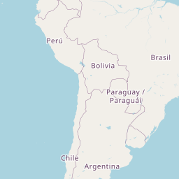
Map


Leaflet | © OpenStreetMap
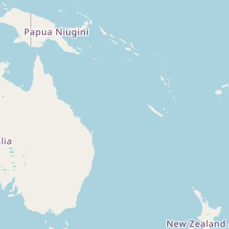
New Hebrides
Latitude-Longitude:
-17.2500, 166.6667
Current Site Statistics
- » 1,170 biographies
- » 337 events
- » 44,911 timeline entries
- » 1,244 ships
- » 350 aircraft models
- » 207 vehicle models
- » 376 weapon models
- » 123 historical documents
- » 261 facilities
- » 470 book reviews
- » 28,519 photos
- » 365 maps
Famous WW2 Quote
"We no longer demand anything, we want war."Joachim von Ribbentrop, German Foreign Minister, Aug 1939
Support Us
Please consider supporting us on Patreon. Even $1 a month will go a long way. Thank you!
Or, please support us by purchasing some WW2DB merchandise at TeeSpring, Thank you!
26 Mar 2022 02:41:38 PM
the information that are founded here is very interesting for my searching
but just i need to find out some military hospitals pictures that are located on efate island in time of world war 2 please