 | 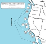 | 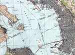 | 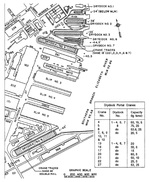 |
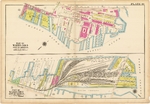
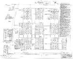
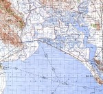
| 1912 map showing the two sections of piers comprising the Boston Navy Yard. | Positions of Japanese I-class submarines during Dec 1941 operations off the United States’ Pacific coast. | Excerpt from the 1942 United States Army Corps of Engineers map of San Francisco Bay showing the Kaiser Richmond Shipyards at Potrero Point and the Tiburon Naval Net Depot across the bay north of Bluff Point. | Dock plan with crane locations at the Norfolk Navy Yard, Portsmouth, Virginia, United States. |
 | 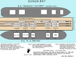 | 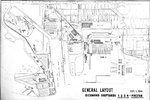 | 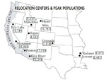 |
| Diagram showing the layout of the Manzanar Relocation Center for deported Japanese-Americans, Inyo County, California, United States, 1944. | Diagram taken from the Navy report showing the ships and pier at the center of the Port Chicago munitions explosion, 17 Jul 1944. Note that the tonnages listed are as of 6 hours prior to the explosion. | Sep 1944 map showing the general layout of Kaiser Richmond Shipyards Nos. 1, 2, 3, and 4 plus the prefabrication shops, Richmond, California, United States. | Map showing the locations of all ten Relocation Centers for deported Japanese-Americans with figures showing each camp’s maximum population during the war. |
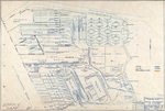 |  |  | 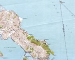 |
| Mar 1945 map showing the general arrangement of the Kaiser Oregon Shipbuilding Corporation yard, Portland, Oregon, United States. | Manzanar camp layout prepared by the War Relocation Authority, 20 Apr 1945. | Excerpt from the 1946 United States Army Corps of Engineers map of San Pablo Bay showing the Mare Island, Vallejo, California, and the Naval Shipyard. | Excerpt from the 1947 United States Geological Survey map of San Francisco Bay showing the Tiburon Peninsula. Note the Tiburon Naval Net Depot on the northeast shore. |
 |  | 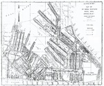 |  |
| Excerpt from the 1950 USGS Venice Quadrangle topographical map showing the former Mines Field, Inglewood, California (marked “Los Angeles International Airport”). | A composite map of Mare Island Naval Shipyard, Vallejo, California, United States, 1954 Jun 30. Note that north is in the about 4:00 o’clock direction. | 1961 map of the New York Navy Yard, Brooklyn, New York, United States. Page 1 of 2. | 1961 map of the New York Navy Yard, Brooklyn, New York, United States. Page 2 of 2. |
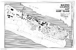 | 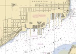 |  | 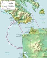 |
| 1970s map of Mare Island Naval Shipyard, Vallejo, California, United States. | Excerpt from the 1984 Sinclair Inlet navigational chart showing the piers and drydocks of the Puget Sound Naval Shipyard, Bremerton, Washington, United States. | Map of Puget Sound Naval Shipyard, Bremerton, Washington, United States. | National Park Service map of World War II harbor defenses for San Francisco Bay, 2015. Note the location of the Tiburon Naval Net Depot in the upper right. |


